| Version 42 (modified by , 10 years ago) ( diff ) |
|---|
Configuring MS4W and MapCache for use in OpenLayers 3
This was spawned by an MS4W user asking how to setup OpenLayers3 for an MS4W MapCache's WMS service (thread), with the following incorrect Javascript code, which did not write tiles to MS4W's cache directory:
new ol.layer.Tile({
title: 'Chabahar',
source: new ol.source.TileWMS({
url: 'http://localhost:100/cgi-bin/mapserv.exe?map=D:/WEB_GIS/code_test/wms/HTML5Application/public_html/chabahar.map&',
params: {
    'LAYERS': 'chabahar',
    'FORMAT': 'image/png',
    'TILED': true
},
serverType: 'mapserver'
})
                                        })  ,
Step 1: Initialize MapCache Module
- follow all of the steps in MS4W's README to initialize the MapCache module
- confirm that tiles are being generated inside the folder: /ms4w/tmp/ms_tmp/cache/
Step 2: Install MS4W's OpenLayers3 Package
- if you haven't installed MS4W's OpenLayers 3 package (we'll use its sample WMS mapfile), please install it:
- save the OpenLayers zip locally from: http://ms4w.com/download.html#applications-packaged-for-ms4w
- extract its contents to the root of your MS4W installation
- restart Apache: as Administrator, execute: /ms4w/apache-restart.bat
- on your Web browser's MS4W homepage, click on the "MapServer WMS Example" link, in the OpenLayers section
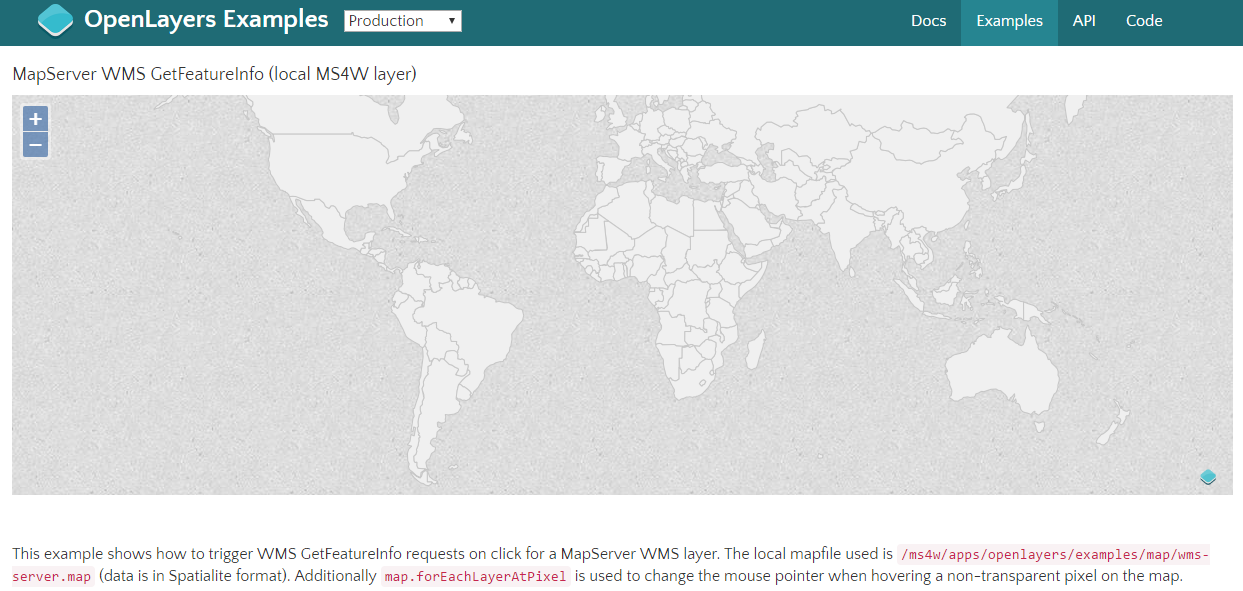
- this example uses a local WMS service, it should display the world countries as below:
Step 3: Configure mapcache.xml to use this WMS as a Source
- add the following to your mapcache.xml file (and if necessary change the <url> and <map> paths):
<source name="ms4wserver" type="wms">
  <http>
    <url>http://127.0.0.1/cgi-bin/mapserv.exe</url>
  </http>
  <getmap>
    <params>
      <map>C:/ms4w/apps/openlayers-3.15.1/examples/map/wms-server.map</map>
      <layers>countries</layers>
    </params>
  </getmap>
</source>
- edit the existing <tileset> section of mapcache.xml, so that it includes:
<tileset name="test">
  <source>ms4wserver</source>
  <cache>disk</cache>
  <grid>GoogleMapsCompatible</grid>
  <format>PNG</format>
  <metatile>5 5</metatile>
  <metabuffer>10</metabuffer>
  <expires>3600</expires>
</tileset>
- we use the "GoogleMapsCompatible" grid here, because OpenLayers assumes the EPSG:3857 projection. Read more about the various "Preconfigured Grids" for MapCache at: http://www.mapserver.org/mapcache/config.html#grid
- delete the existing cache folder: /ms4w/tmp/ms_tmp/cache/test
- restart Apache: as Administrator, execute: /ms4w/apache-restart.bat
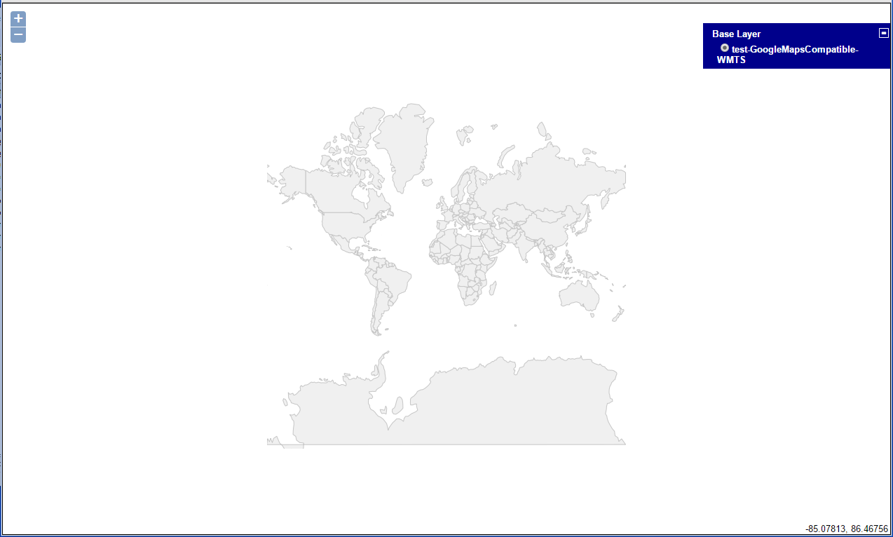
- on your Web browser's MS4W homepage, click on the "Demo" link in the "MapCache URLs" section. Then click on the "wmts" link. A world countries map should appear, and if you expand the "+" button on the top right, it should list a layer named "test-GoogleMapsCompatible WMTS", as below:

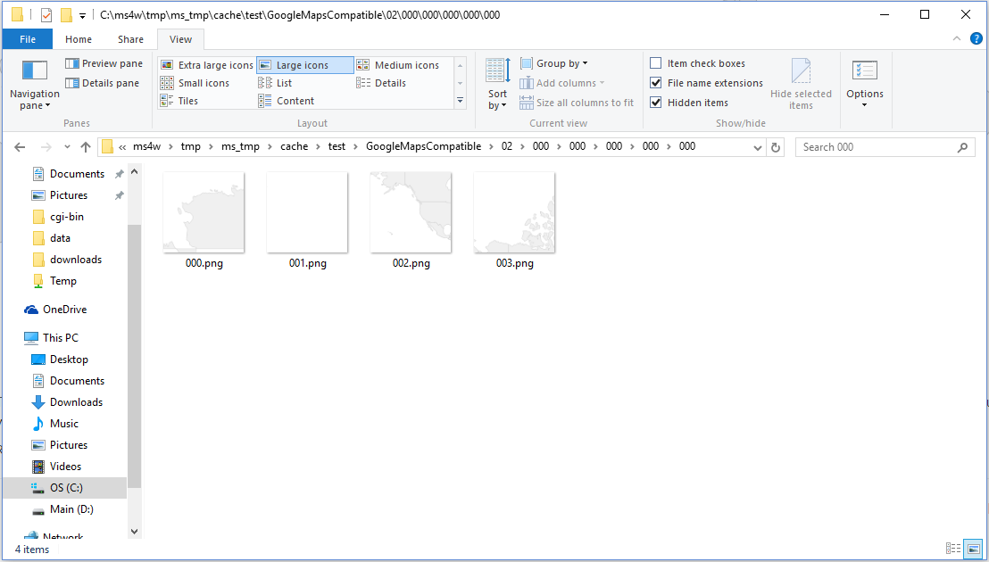
- zoom in a few times, and check your cache folder (/ms4w/tmp/ms_tmp/cache/test), you will notice that tile images are saved there.
Step 4: Configure OpenLayers 3 to use this WMTS Service
We will use the existing "MapServer WMS Example" html and javascript, but you can adapt this for your own page.
- copy the file /ms4w/apps/openlayers/examples/getfeatureinfo-tile.js and rename it to mapcache-getfeatureinfo-tile.js
- copy the file /ms4w/apps/openlayers/examples/getfeatureinfo-tile.html and rename it to mapcache-getfeatureinfo-tile.html
- edit the file /ms4w/apps/openlayers/examples/getfeatureinfo-tile.html and change the source on line#178 such as:
<script src="loader.js?id=mapcache-getfeatureinfo-tile"></script>
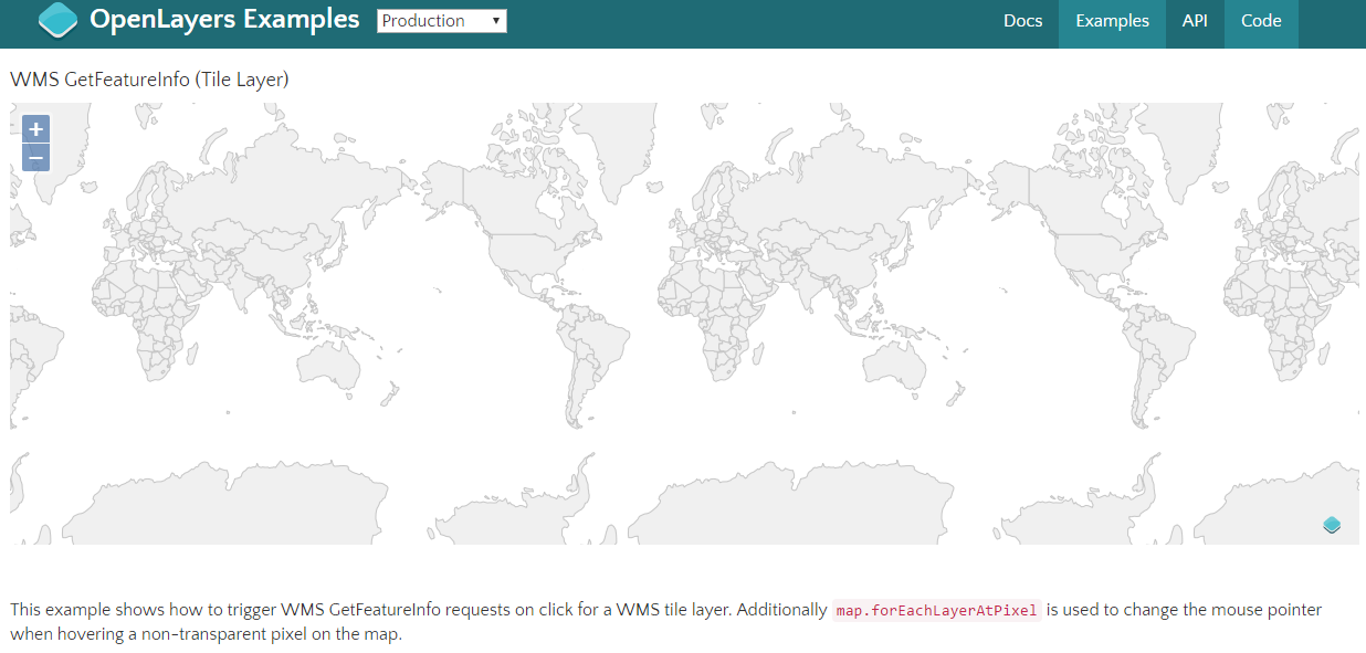
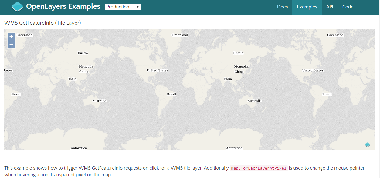
- load that page in your Web browser using the appropriate URL (such as: http://127.0.0.1/openlayers/examples/mapcache-getfeatureinfo-tile.html) You should see a countries map with labels, such as:
Attachments (5)
-
OL-WMS.PNG
(211.1 KB
) - added by 10 years ago.
Default OpenLayers demo using sample WMS service from MS4W
-
MAPCACHE-WMTS-3857.PNG
(66.9 KB
) - added by 10 years ago.
Sample WMTS service through MapCache, using 3857 projection
-
OL-MAPCACHE1.PNG
(252.4 KB
) - added by 10 years ago.
Working page for the MapCache test (before adding our WMTS service)
-
OL-MAPCACHE2.PNG
(82.9 KB
) - added by 10 years ago.
OpenLayers using the MapCache WMTS service through MS4W
-
OL-MAPCACHE3.PNG
(50.1 KB
) - added by 10 years ago.
MapCache generated tiles through OpenLayers 3
Download all attachments as: .zip
Note:
See TracWiki
for help on using the wiki.